২৯ আশ্বিন ১৪৩৩



Satellite Images Reveal Massive Changes After Nepal-Tibet Flash Flood
31 August 2026 03:08 AM
NEWS DESK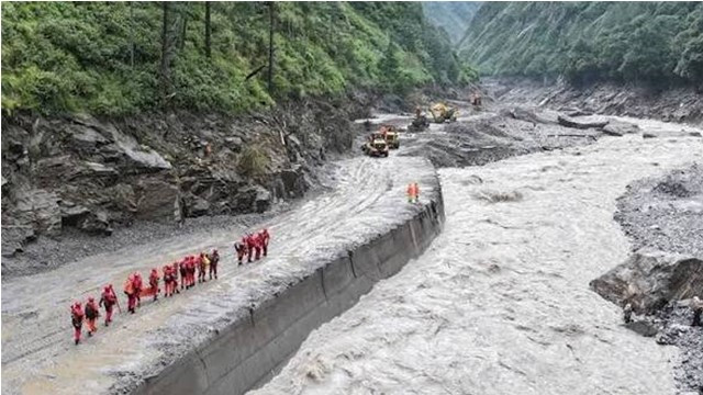
Satellite imagery has revealed dramatic changes along the Nepal-Tibet border following the devastating flash flood that struck the Bhotekoshi River, with scientists suggesting that a massive rockslide, in addition to glacier collapse, may have triggered the disaster.
Clear satellite images were unavailable immediately after the flash flood on Wednesday due to heavy cloud cover. However, improved imagery obtained on Thursday and Friday allowed scientists to assess the extent of the damage.
After analyzing the images, scientists Kristin Cook and Dan Shugar concluded that a large rockslide from the mountainside likely struck a glacier, causing massive sections of ice to break away. The collapse sent huge volumes of ice, rocks, and debris rushing downhill.
As the ice melted, water mixed with rocks, mud, and sediment, generating a powerful debris flow that swept through downstream communities, destroying homes, infrastructure, and other structures in its path.
Satellite images also showed that a significant portion of the glacier near Langtang Lirung Peak, close to the Tibet border, had collapsed. Major landscape changes were also observed in the areas of Kolpurtar, Betrabati, and Syabrubesi, comparing images taken before and after the disaster.
The analysis further revealed that the channel of the Trishuli River has widened considerably following the flood. Areas that were previously densely populated at the foot of the mountains now bear clear signs of widespread destruction.
The full scale of the disaster has become increasingly evident since the catastrophic flooding on the Bhotekoshi River on August 26. According to the latest official update released on Sunday, the death toll has surpassed 750, while more than 2,400 people across the affected river basin remain missing or unaccounted for.